03/23/2025 - 03/29/2025
Climate in the News:
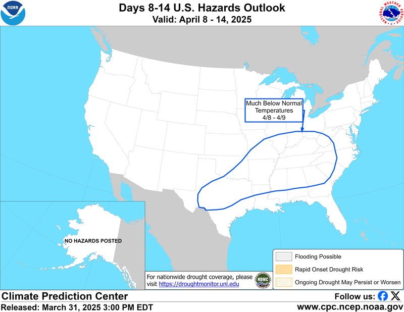
On Saturday a strong cold front is forecasted to sweep through the Southern Region. This cold front will bring unseasonable cool temperatures to Southeast United States, potentially endangering cold-sensitive young spring crops.
Weather Synopsis:
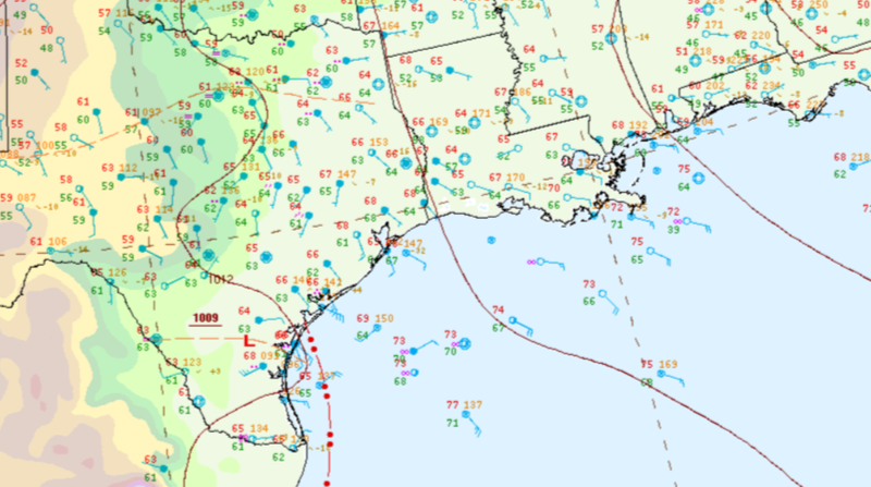
For the second half of last week a surface low pressure system sat in South Texas. This low pressure system brought disturbed weather conditions and several days of rainfall.
Temperature:
Overall, March is when the Region is starting to warm up. However, frequent cold fronts are still common, bringing rain chances and below-normal temperatures for a few days.
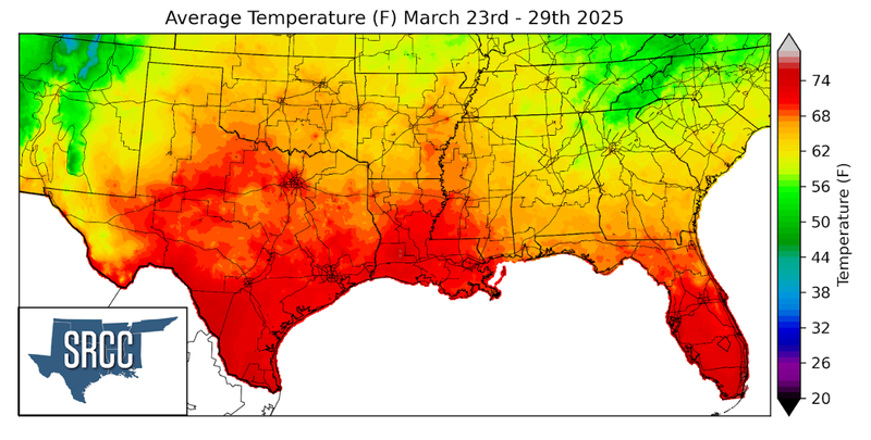
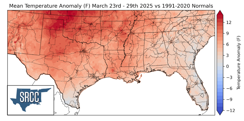
Temperatures were warm across much of the Southern Region. Weekly average temperatures were above normal across the entire Region, with the largest departure from normal observed in the Texas and Oklahoma Panhandles. Overall, weekly average temperatures hovered around 62 to 70 degrees Fahrenheit for much of the Region, several degrees warmer than last week.
Precipitation:
With the majority of the Region being in a humid subtropical climate, rainfall is common at any point of the year. Frequently, during the spring months, storm systems are also common throughout the south. During March severe storm probabilities are at their highest in the Lower Mississippi Valley.
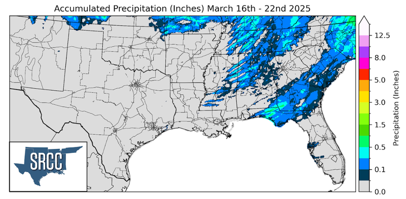
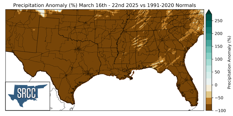
Precipitation last week was mostly confined to the Southern areas of the Region. The aforementioned surface low-pressure system brought lots of rain to South Texas from Thursday into Friday. Weekly precipitation totals in Deep South Texas were six inches to over a foot in Cameron and Willacy Counties. On Friday alone, a CoCoRaHS reporter in Harlingen reported almost fourteen inches of rain!