11/16/2023
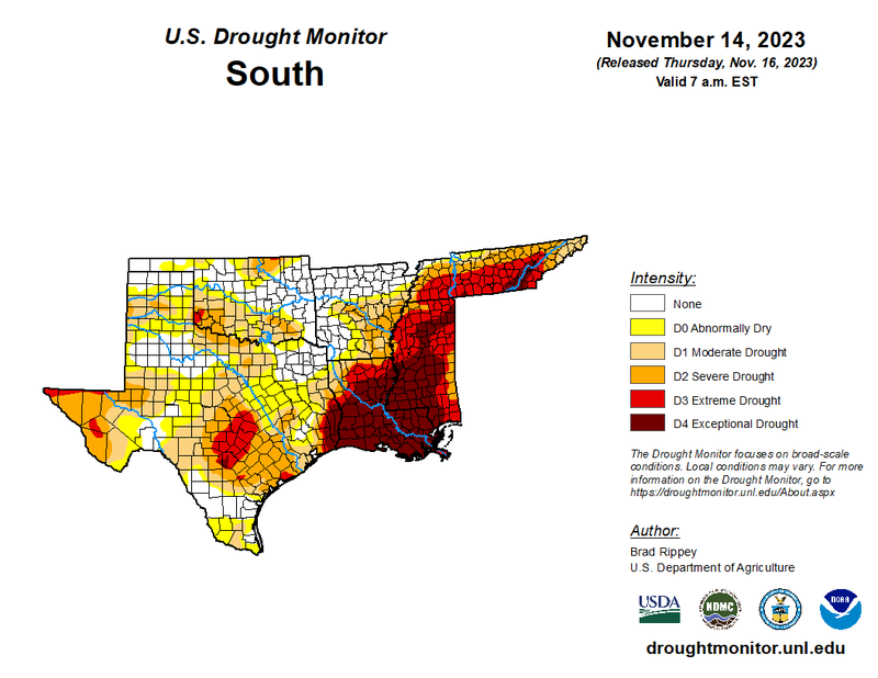
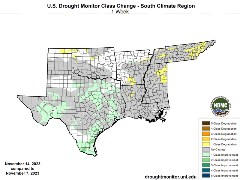
While temperatures were well above normal for the entirety of the region last week, the southern region experienced another week with moderate precipitation accumulations. Rain last week was thanks to a late-week cold front that swept through the region. But, moderate precipitation totals both last week and the week prior led to widespread one-class improvements across Texas. Some small two-class improvements were even seen in South Texas where precipitation totals were the highest last week. Areas that lacked significant rainfall the week prior continued to not see much last week, resulting in one-class degradation in Southern Arkansas, Northern Mississippi, Tennessee, and Northern Oklahoma. Drought expansion specifically in Tennessee has worsened, with expectational drought (D4) finally making it to the state. In the past 6 weeks drought in Tennessee has rapidly worsened. On October 3rd, 0% of the state was experiencing D2-D4 drought conditions, now as of November 14th, that number is up to 81%, more than four-fifths of the state.
Looking into the future, as outlined by the U.S Seasonal Drought Outlook, valid for November 16th through February 29th, drought is not expected to worsen in any portion of the climate region, thanks to enhanced amounts of precipitation brought about by a strong El Nino. However, drought is expected to persist in Northern Tennessee and West Texas.