08/10/2025 - 08/16/2025
Climate in the News:
Chattanooga, Tennessee, experienced its second-wettest day on record (since 1879) on August 12th, with 6.42 inches of rain. Light rain started in the early morning hours, but the heaviest and most consistent rainfall occurred between 12:30 pm and 8 pm. A local state of emergency was declared in Hamilton County, with numerous roads closed due to the flooding, according to The Tennessean. Four fatalities were confirmed, caused by fallen trees and dangerous floodwaters. The highest rainfall Chattanooga had seen in a single day was 9.49” in September 2011 from the remnants of Tropical Storm Lee.

The Climate Prediction Center issued a La Niña Watch on August 14th. A brief period of La Niña conditions is favored in the fall and early winter before reverting to ENSO-neutral. Forecasters estimate a 56% chance that ENSO-neutral will continue until October. Depending on the strength of the La Niña, it could amplify both the hurricane season and the fall tornado season for the Southern Region.

Weather Synopsis:
Last week was rainy for most of the Southern Region. A middle-atmosphere “trough” (the valley-shaped brown lines indicated by the arrow) brought unstable air ahead of it to the Southern Region. At the surface, areas of low pressure developed, and some of them produced fronts. Atmospheric conditions allowed for abundant rainfall every day last week. By Saturday morning, the large “trough” moved away from the Southern Region, and hotter, drier weather returned.

Temperature:
Climatologically, August is the hottest month of the year for the Southern Region, with an exception for Tennessee. The Region often sees daily average temperatures in the mid 80s.


Last week, most of the Southern Region experienced warmer-than-average temperatures. Daily average temperatures were abnormally low in areas that experienced rainfall and persistent cloud cover, especially in the eastern half of Texas and along the Gulf Coast. Otherwise, portions of every state had temperatures 3-6 degrees above average, especially in Arkansas and Tennessee. Sunday (8/10) and Saturday (8/16) brought hundred-degree temperatures to every state in the Southern Region last week. Overall, daily average temperatures ranged from the low 70s to the low 90s.
Precipitation:
With most of the Region located in a humid subtropical climate, rainfall occurs at any point of the year. During the summer months, sea breezes initiate thunderstorms and rain showers, which are quite common along the coastal areas. Tropical systems begin to impact the Southern Region’s weather patterns both directly and indirectly.


Much of the Southern Region experienced rainfall last week. Widespread rainfall occurred in Tennessee, Mississippi, Louisiana, and the northern portions of Texas and Oklahoma. Parts of these states also experienced heavy rainfall. Chattanooga, TN, experienced 6.20” within 6 hours. For the week, over 5” of rain fell in the Texas low rolling plains and north central regions and the eastern half of Tennessee. Last week’s highest accumulation was 7.13 inches, which occurred in Hamilton County, TN.
Drought:


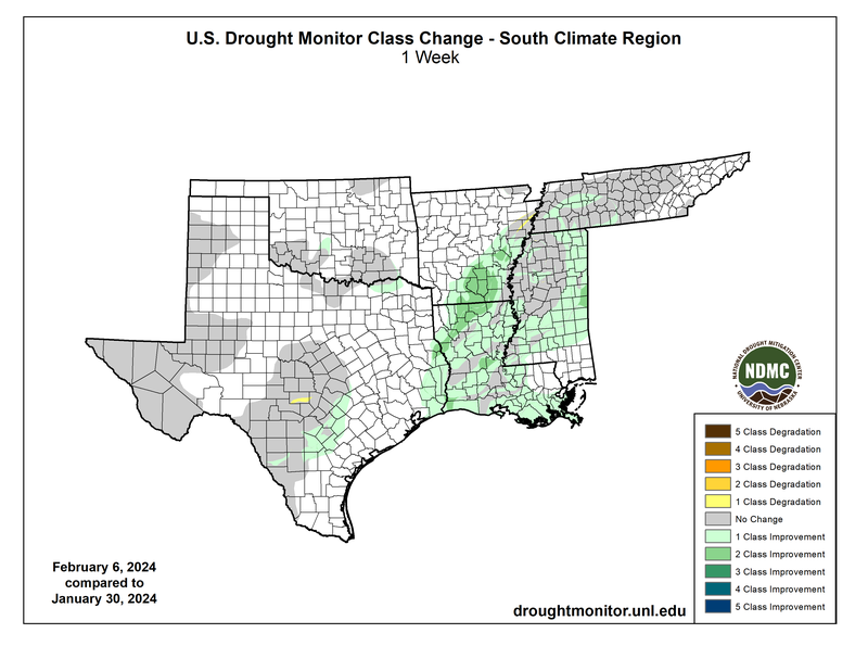
Hot summer temperatures and short-term dryness exacerbated abnormally dry conditions and intensified the existing drought. Across the Southern Region, overall coverage of Abnormal Dryness (D0) to Exceptional Drought (D4) increased by just over 14% from the previous week. Arkansas saw the most dramatic change this week, as overall coverage (D0-D4) increased to 54%. Abnormal dryness expanded to over half of the state, and some dry areas worsened to moderate drought (D1) conditions. The state had been drought-free since the first week of April 2025. Mississippi also entered drought this week, with just under 2% of the state now in Moderate Drought (D1), while abnormal dryness covers 65% of it. In Texas, exceptional and extreme drought conditions continue to plague part of the Edwards Plateau and a small portion of the southern Trans Pecos. Only Louisiana and Oklahoma remain free of drought (D1-D4). Last week’s precipitation, discussed above, will be considered in the next assessment of the drought monitor.
