07/27/2025 - 08/02/2025
Climate in the News:
The Climate Prediction Center’s outlooks favor hotter and drier conditions in the west and slightly hotter and wetter conditions in the east in August. The temperature outlook indicates that temperatures in Texas will be likely hotter than usual, especially in the Trans Pecos and High Plains regions. Parts of Oklahoma, Tennessee, and Mississippi also lean above the average. The precipitation outlook indicates a slight chance of drier conditions in the western parts of Texas and Oklahoma, and wetter conditions in parts of Tennessee, Mississippi, and Louisiana. Still, these predictions are uncertain for most of the Southern Region, especially Arkansas.


Weather Synopsis:
Last week, the Southern Region experienced another round of its characteristic summertime weather pattern affectionately termed the “Ring of Fire.” An area of “HIGH” pressure (pictured by the Texas-Oklahoma-Arkansas border on Tuesday) brought hot temperatures as it strengthened and expanded to the north and western reaches of the region. By Wednesday, it weakened and moved eastward, as a second high-pressure center trailed behind it. The two areas of high pressure interacted with each other, stalling for the rest of the week, with one centered over Arizona and the other centered over Florida. Moisture constantly flowed inland on the west side of both high pressure centers. Disturbances tapped into the moisture and produced a ring of storms around the high-pressure centers. The most prominent disturbance was a low-pressure system that moved southward from Oklahoma to central Texas, bringing fronts draped westward across the Texas Trans Pecos and eastward across Tennessee, Louisiana, and Mississippi. The low-pressure system traveled to the southern margins of the Region by the end of the week.

Temperature:
Climatologically, August is the hottest month of the year for the Southern Region, with an exception for Tennessee. The Region often sees daily average temperatures in the mid 80s.


Summer-like temperatures stayed for a second week in the Southern Region. Temperatures are not as hot as recent years- but most of Texas, Oklahoma, Arkansas, and Louisiana experienced heat comparable to the 1991 to 2020 average. Such states benefited the most from the “Ring of Fire” setup, receiving persistent cloud cover and several days of rainfall that kept temperatures below the average. Mississippi and Tennessee experienced another hot week of daily average temperatures 3-6 degrees Fahrenheit above average. Hot daily average temperatures near 90°F only affected Texas this week, which were only 1-4 degrees Fahrenheit warmer than average for this time of the year. Overall, the average temperatures for the week ranged from the 70s to the high 80s.
Precipitation:
With most of the Region located in a humid subtropical climate, rainfall occurs at any point of the year. During the summer months, sea breezes initiate thunderstorms and rain showers, which are quite common along the coastal areas. Tropical systems begin to impact the Southern Region’s weather patterns both directly and indirectly.


The Southern Region was relatively dry last week. Most of Texas, Tennessee, and Oklahoma were particularly dry for this time of the year. Rainfall was scattered and localized, as most areas accumulated twice their normal rainfall in just a few hours. The highest amount of rainfall in a day last week was 4.13 inches in Grayson County, Texas, on July 31st. Last week’s highest rainfall accumulation was 5.76 inches in eastern Tennessee. Over 4” fell in parts of every state except for Arkansas.
Drought:

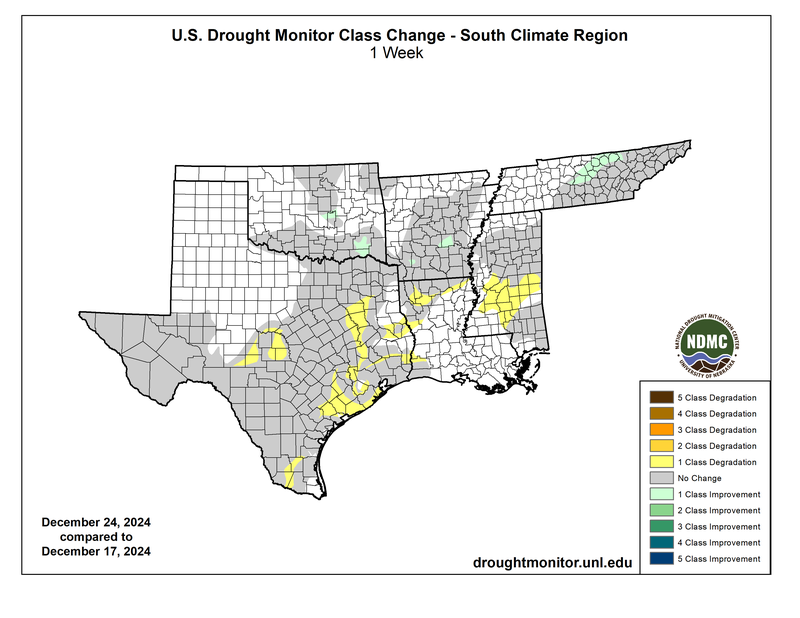
Abnormally dry conditions developed in the Lower Delta and Southeast regions of Mississippi, as well as the Middle and Cumberland Plateau regions of Tennessee. Previously existing dryness also expanded north in Mississippi, east in Oklahoma, and farther south in Texas. Louisiana and Arkansas remained drought-free. In Texas, (D4) Exceptional Drought continues to plague part of the Edwards Plateau. Fortunately, the state saw widespread improvements in the Trans Pecos, Edwards Plateau, and northern South Texas regions. Abundant rainfall this summer contributed to drought amelioration for a few counties along the Pecos River. Unfortunately, the rainfall was not enough to alleviate years of low groundwater and reservoir levels in Texas. Last week’s precipitation, discussed above, will be considered in the next assessment of the drought monitor.