07/06/2025 - 07/12/2025
Climate in the News:
The National Hurricane Center is closely monitoring a broad area of low pressure forecasted to move westward and emerge over the north portion of the Gulf over the next few days. The tropical disturbance is forecasted to reach the coast of Louisiana by Thursday and produce heavy rainfall Wednesday through Friday (July 16 - 18). In the Southern Region, the coastal areas of Louisiana and Mississippi are at the highest risk of flash flooding. There is a 40% chance this disturbance (named Invest 93L) could redevelop as a Tropical Depression (or stronger) by Friday.

Weather Synopsis:
Last week brought some of the hottest temperatures of the year to the following states:
- Arkansas experienced record-breaking high heat for multiple days last week, including the hottest temperatures of the year and the first 100-degree days on Sunday and Monday. The hottest for the month and the year is probably yet to come for the state. The hottest temperatures of the year in Arkansas typically happen at the end of July and the beginning of August.
- Tennessee also saw its first 100-degree day and hottest day of the year on Friday at Mount Pleasant. The hottest temperatures of the year in Tennessee usually occur between the end of June and the middle of July.
- Oklahoma felt its hottest temperature yet for the year last week. Texas County, located in the Oklahoma Panhandle, recorded 103°F on Thursday. This year has had one of the latest times to reach 100°F in the panhandle since the station started recording in 1999. Oklahoma usually sees its hottest temperatures between early July and early August, while the panhandle experiences them in late June.
- Mississippi experienced its second 100-degree day on Tuesday, almost a month after its first. Tuesday was the hottest day of 2025 so far for East Central, Upper Delta, and Coastal Mississippi. For most of Mississippi, the hottest temperatures typically occur in August, and the East Central region experiences it a month earlier.
Major heat is forecasted to impact these states through July 22nd. Visit the National Weather Service's HeatRisk page to determine how sensitive communities may be to their forecasted temperatures.

Temperature:
Climatologically, July is the 2nd hottest month of the year for most of the Southern Region. The Region often sees daily average temperatures in the mid 80s.


Last week, temperatures were below seasonal in Texas and Oklahoma, seasonable in Arkansas, Louisiana, and Mississippi, and above seasonal in Tennessee. Hot daily average temperatures near 85°F affected Louisiana, East and South Texas, East and South Arkansas, and West Mississippi. However, Texas and Oklahoma were cooler than usual due to persistent cloud cover and daily rainfall in the first half of the week. As a result, daily average temperatures in central Texas were as much as 6°F below normal. Summer-like temperatures returned to the southern border of Texas, with some places along the Rio Grande River hitting daily averages of 90°F. Overall, the average temperatures for the week ranged from the 70s to the low 90s.
Precipitation:
With most of the Region located in a humid subtropical climate, rainfall occurs at any point of the year. During the summer months, sea breezes initiate thunderstorms and rain showers, which are quite common along the coastal areas. Tropical systems begin to impact the Southern Region’s weather patterns both directly and indirectly.


Remnants of Tropical Storm Barry in the Atlantic and Hurricane Flossie in the Pacific continued to create conditions for storms in the Southern Region Sunday through Wednesday. By Thursday, the leftover effects of these storms had moved past Tennessee and Mississippi, bringing light to moderate rain with them. A cold front draped across Oklahoma and Texas produced thunderstorms and heavy precipitation at the end of the week. As a result, intense rainfall returned to central Texas on Saturday, accumulating up to 9.10 inches in Guadalupe County. Some other areas in the Southern Region, such as Southeast Louisiana, South Texas, and East Central Oklahoma, also received more than 6 inches of rain during the week.
Drought:

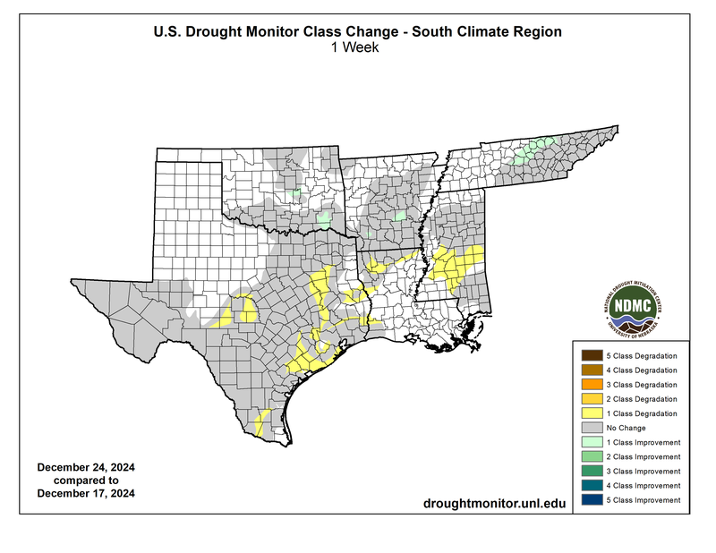
Abnormally dry conditions returned to Oklahoma and Arkansas and expanded in Eastern Tennessee. In Texas, (D4) Exceptional Drought continues to plague the Edwards Plateau and Trans Pecos regions. Fortunately, the northern reaches of drought in the state saw improvements, most significantly in the Texas Edwards Plateau region, due to heavy rainfall from the first week of July. Unfortunately, this was not enough to ameliorate years of low groundwater and reservoir levels in the southern portions of the region. Last week’s precipitation, discussed above, will be considered in the next assessment of the drought monitor.